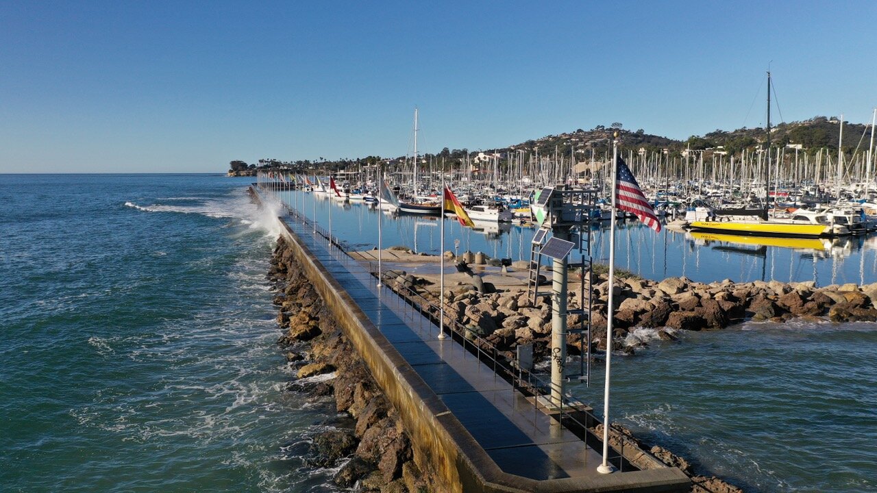
Santa Barbara Harbor
Harry Rabin/On the Wave Productions 2020
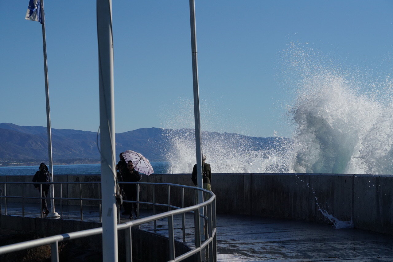
Waves Crashing
Harry Rabin/On the Wave Productions 2020
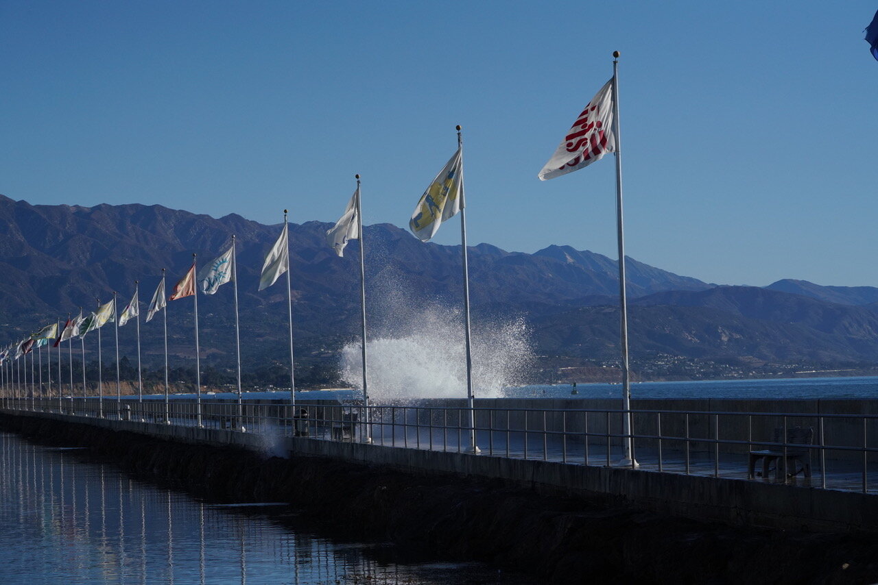
Waves Crashing
Harry Rabin/On the Wave Productions 2020
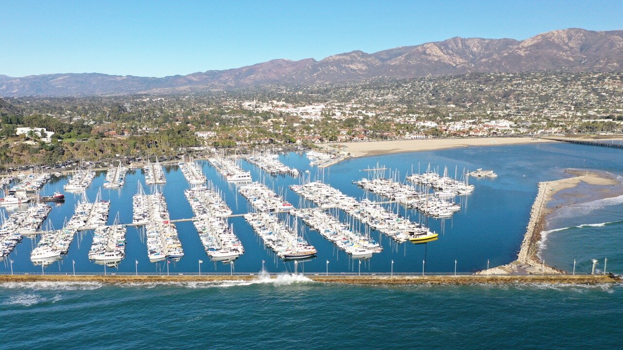
Santa Barbara Harbor
Harry Rabin/On the Wave Productions 2020

Santa Barbara Harbor
Harry Rabin/On the Wave Productions 2020
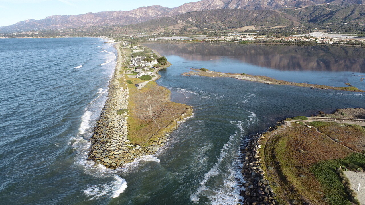
Salt Marsh
Harry Rabin/On the Wave Productions 2020
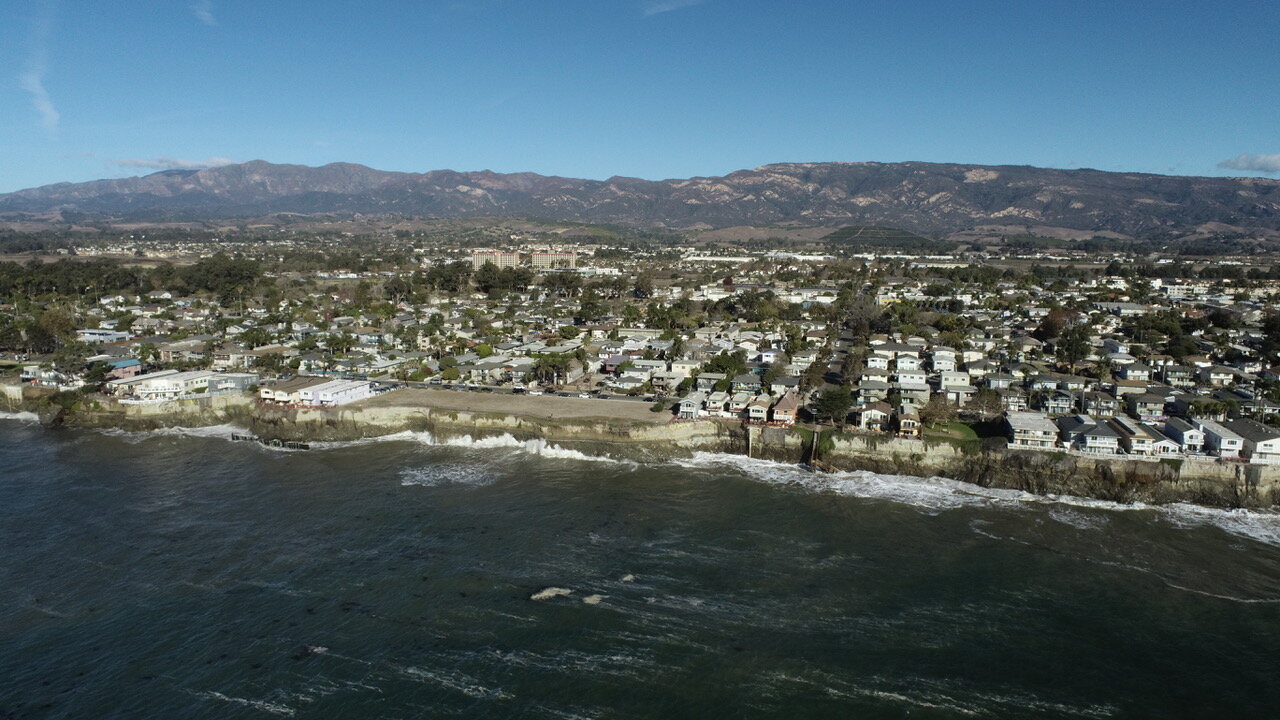
Isla Vista Coastline
Harry Rabin/On the Wave Productions 2020

Miramar Coast
Harry Rabin/On the Wave Productions

Miramar Coast
Harry Rabin/On the Wave Productions 2020


Isla Vista
Harry Rabin/On the Wave Productions 2020

Miramar Houses Hit by Waves
Branden Aroyan 2019

Miramar
Branden Aroyan 2018 & 2019

Sandyland/Sand Point during King Tide event
Image by Branden Aroyan 2019
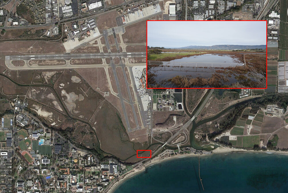
Goleta Slough/Airport during King Tide event
Image by Harry Rabin/ On the Wave Productions 2019
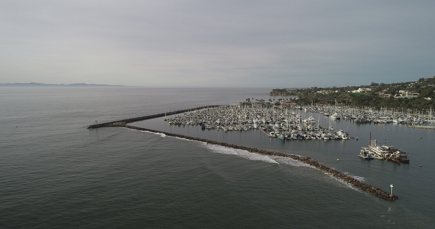
Santa Barbara Harbor Euring King Tide Event
Image by Harry Rabin/ On the Wave Productions 2019
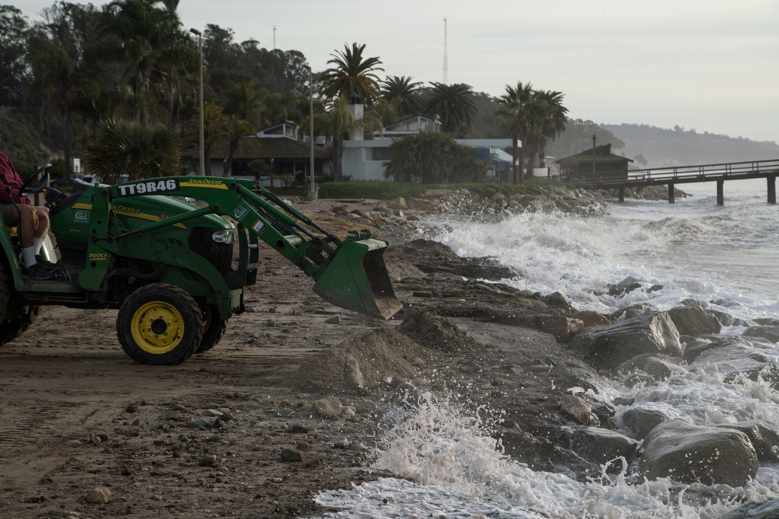
Goleta Beach Tractor
Branden Aroyan 2019

Goleta Beach Wave Crash
Branden Aroyan 2019
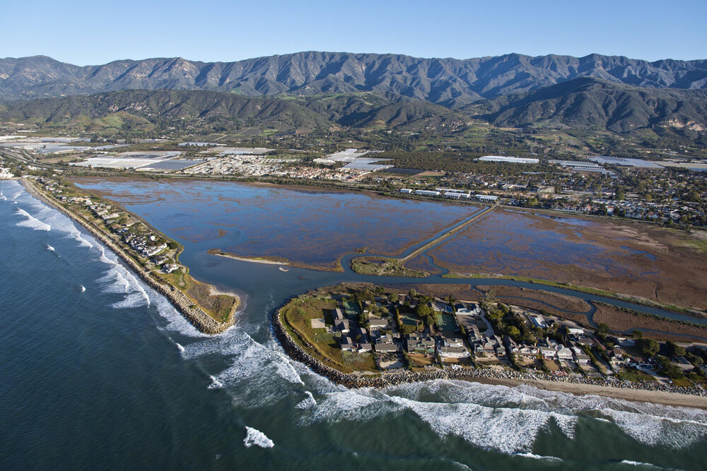
Sandy land and Sand Point
Bill Dewey 2014

Isla Vista Coast
Bill Dewey 2014

UCSB Campus Point
Bill Dewey 2014

Predictive coastal flooding in Downtown Santa Barbara (including SB Harbor) due to SLR in 2100
Our Coast Our Future

Predictive coastal flooding in Goleta Slough due to SLR in 2100
Our Coast Our Future
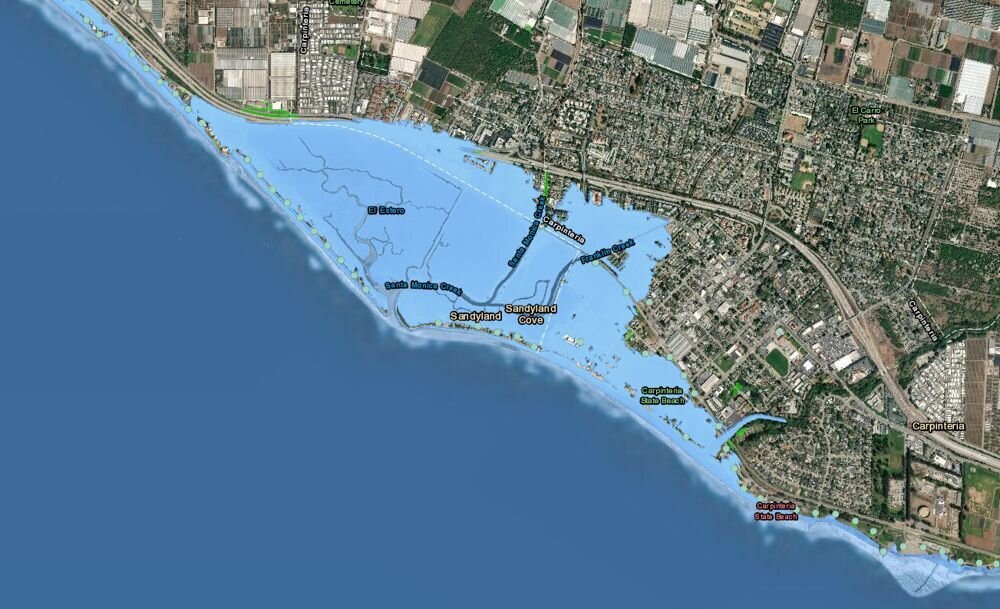
Predictive coastal flooding in Carpinteria (including Sandyland/Sand Point) due to SLR in 2100
Our Coast Our Future
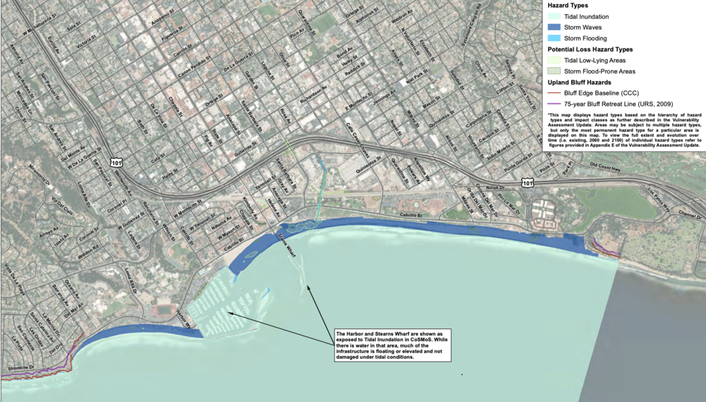
Existing Conditions Hazards (East)
USGS/ESA 2018

Existing Conditions Hazards (West)
USGS/ESA 2018

2030 Prediction: Hazards with 0.8 Feet of Sea-Level Rise (±2030) (East)
USGS/ESA 2018

2030 Prediction: Hazards with 0.8 Feet of Sea-Level Rise (±2030) (West)
USGS/ESA 2018
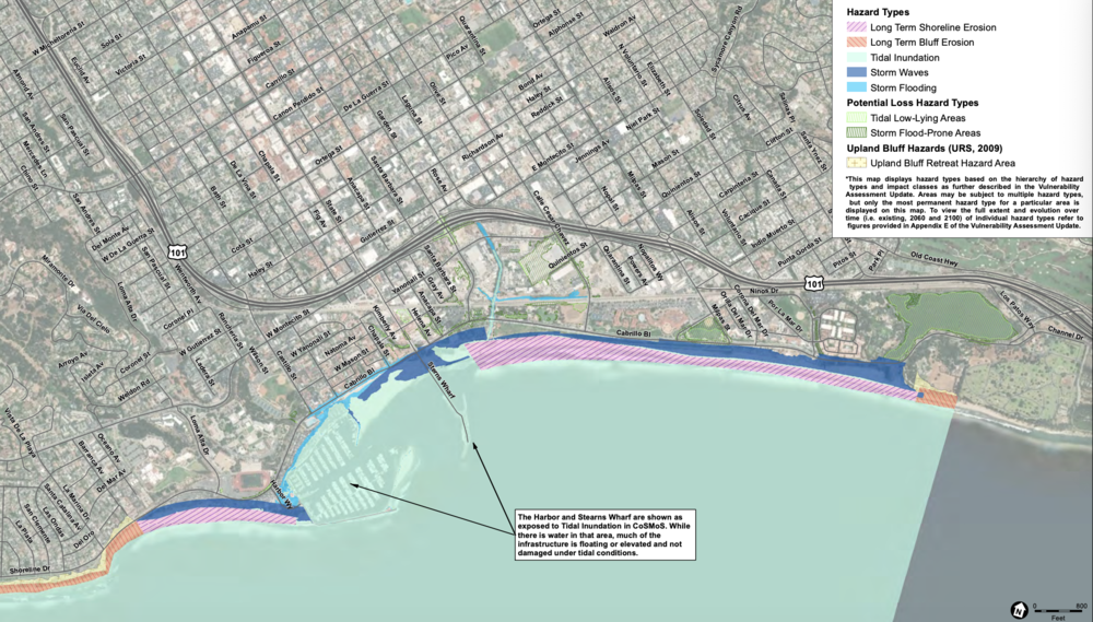
2060 Prediction: Hazards with 2.5 Feet of Sea-Level Rise (±2060) (East)
USGS/ESA 2018

2060 Prediction: Hazards with 2.5 Feet of Sea-Level Rise (±2060) (East)
USGS/ESA 2018

2100 Prediction: Hazards with 6.6 Feet of Sea-Level Rise (±2100) (East)
USGS/ESA 2018

2100 Prediction: Hazards with 6.6 Feet of Sea-Level Rise (±2100) (West)
USGS/ESA 2018


